


Description
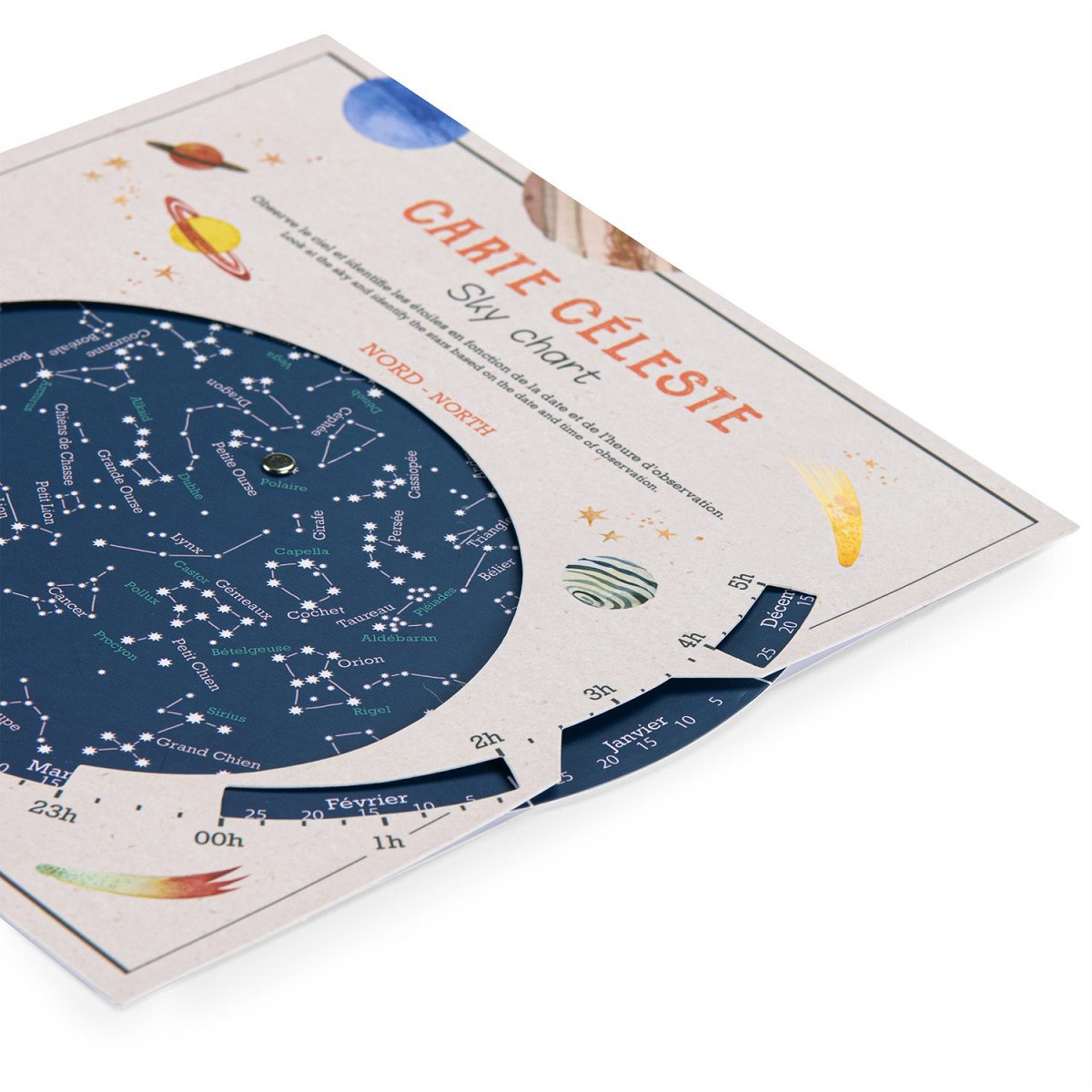
L’Explorateur – Sky Chart
Learn all about the night sky with the Céleste map.
Let the adventure begin…
Hold your map above your head, facing north, and observe the magnificent sky!
Budding astronomers can find out everything they need to know about constellations and stars!
NOTE: The Moulin Roty sky chart can only be used in locations at latitude of 40-50 degrees.
FOR CANADA, this means the sky chart has best accuracy from British Columbia — Vancouver Island (passing through the town of Campbell River) and mainland, also through the Okanagan Valley immediately north of Kelowna and all of BC south of these points. Alberta — passing through the city of Medicine Hat and all of AB south of this point. Saskatchewan — passing a few km south of the cities of Swift Current, Moose Jaw and the capital, Regina and all of SK south of these points. Manitoba — passing just north of Winnipeg and all of MB south of this point. Ontario — passing through Lake Nipigon and all of ONT south of this point. Quebec – passing through the town of Port-Cartier and all of QC south of this point. Maritimes – all points.
CHART measures approximately 20.5 x 20 cm.
Safety rated for ages 6 +.


Reviews
There are no reviews yet.